Mockup. A sample website built by Noahlot for a real Northland business category. Not a live brokerage. Every name, number, tract and price below is invented.
Richmond, Missouri · Ray, Carroll and Lafayette counties (816) 555‑0142
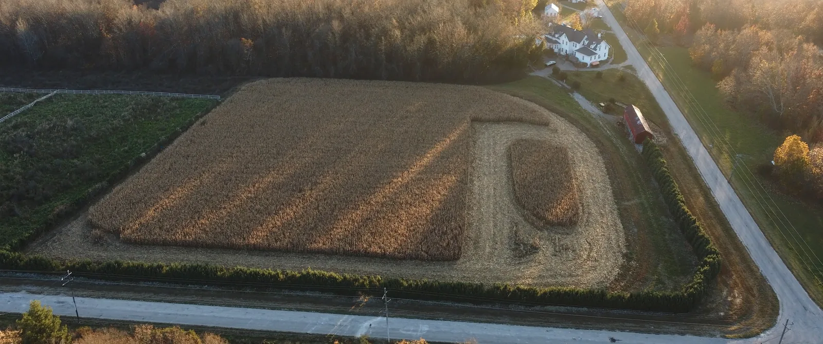
Aerial view of a partly picked cornfield bounded by a hedge row and a gravel road, with a white farmhouse, a red barn and a blacktop county road along the far edge.

Thirty‑six sections, and what is for sale in each one.

Ray County ground and Richmond houses, sold out of the same office. The difference is that they are not the same purchase, and this page does not pretend otherwise.

Half of what we sell is ground and half of it is a house on a street with a sidewalk. A buyer looking at forty acres is asking about water, waste, the flood map and whether a grain truck can turn into the field. A buyer looking at a house on North Camden is asking about the roof, the furnace and the lot line. Those are different questions, so they are answered in different places on this page.

The township

Township 52 North, Range 28 West

654321 789101112 181716151413 192021222324 302928272625 313233343536

Sections holding a tract we have listed. Select one to read its record.

A township is six miles by six miles and it holds thirty‑six sections of one square mile each. Everyone who farms here already thinks in these squares, because that is how the deed reads and that is how the FSA maps it. Nobody selling ground online uses them, which is why a listing that says “beautiful 78 acres” tells a neighbour nothing and a stranger less.

The five tracts below are the ones we have on the market in this township today. The numbering runs the way the survey runs, starting in the northeast corner and turning back at the end of each row.

Every tract record carries the same six fields, in the same order, whether or not the answer is interesting. None is an answer and it is stated rather than left out, because a blank on a listing sheet is how a buyer ends up finding out about a lagoon in week six.

Section 4

78.5 acres, blacktop frontage

$492,000

Row crop with a fenced draw along the north line. Farmed by the same tenant for nine years, lease assignable at closing, cash rent paid in March and October.

Tillable
61.2 acres, class II and III
Water
None. Rural district main at the road
Waste
None
Flood zone
Zone X, whole tract
Road
1,320 ft blacktop, one field entrance
2025 taxes
$1,184
Section 9

40 acres, timber, pasture and a pond

$268,000

Roughly half standing hardwood, half in fescue with a two thirds acre pond at the low corner. Perimeter fence is servicable on three sides and down on the west line.

Tillable
None
Water
None. Pond only
Waste
None
Flood zone
Zone X, whole tract
Road
660 ft gravel, gate at the northeast corner
2025 taxes
$412
Section 17

160 acres, two field entrances

$1,040,000

A full quarter section, the largest contiguous piece we have listed this year. Eleven acres along the creek sit inside the mapped floodway and are not row cropped. That is stated here rather than left for the appraisal.

Tillable
143.0 acres
Water
None
Waste
None
Flood zone
Zone AE on 11 acres along the creek
Road
2,640 ft gravel, two entrances
2025 taxes
$2,466
Section 23

12.4 acres, house and a 40 by 60 shop

$389,000

Ranch house of 1,760 square feet built in 1978, insulated shop with a concrete floor and 200 amp service. This is the tract most buyers actually want and the one that raises the most lender questions, because it is a house on acreage with a private well.

Tillable
None. 8 acres in grass
Water
Drilled well, 1998, 210 ft
Waste
Lagoon, permitted 1978
Flood zone
Zone X, whole tract
Road
420 ft blacktop, paved drive
2025 taxes
$1,905
Section 36

5.1 acres, manufactured home on a foundation

$212,500

Set on a permanent poured foundation in 2019 with the towing gear removed and the title surrendered, which is the difference between a mortgage and a chattel loan. Detached 24 by 30 metal garage.

Tillable
None
Water
Drilled well, 2019, 180 ft
Waste
Septic tank and lateral field, 2019
Flood zone
Zone X, whole tract
Road
310 ft gravel, gravel drive
2025 taxes
$1,043

In town

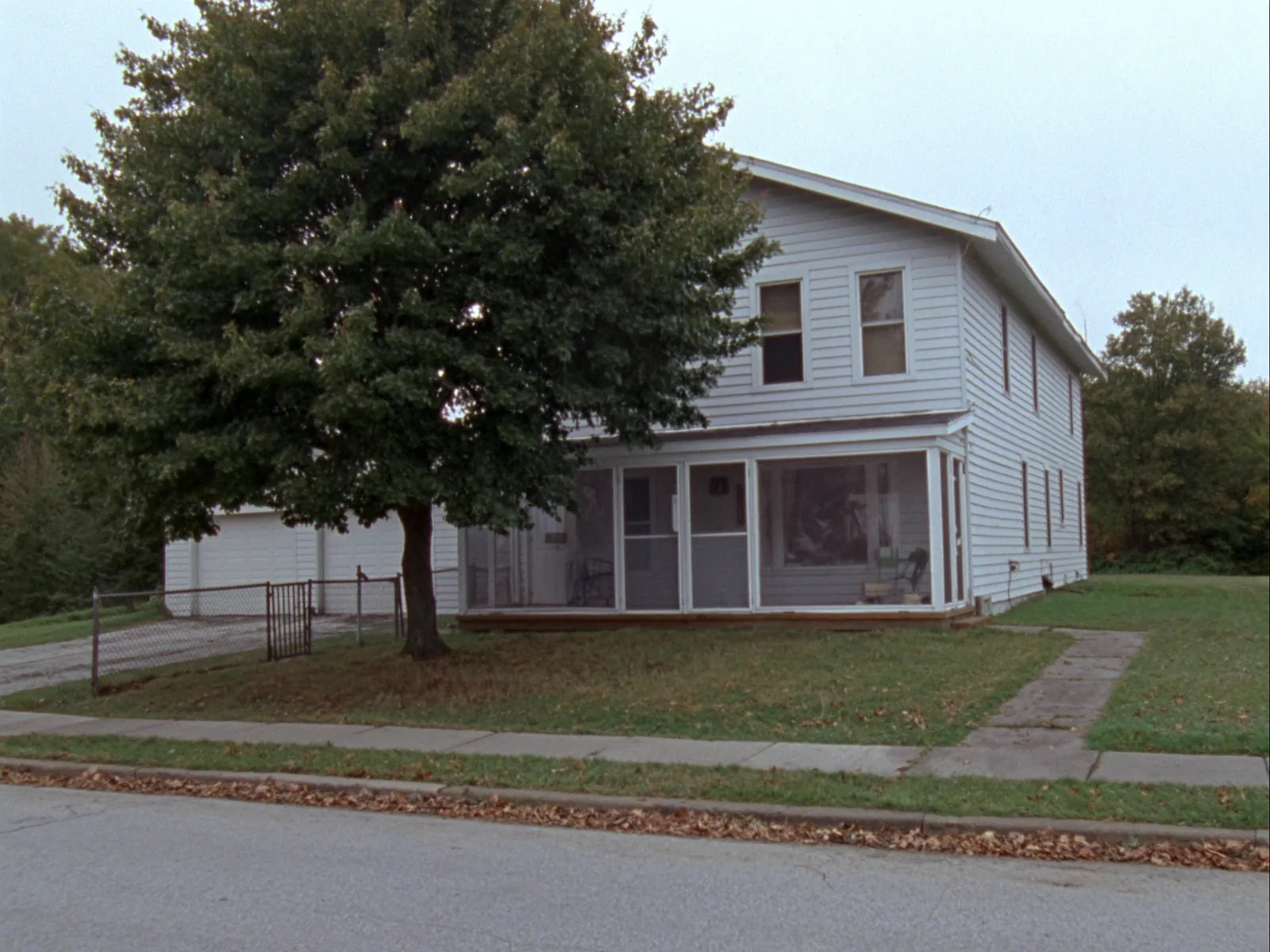
A white two-story frame house with a screened front porch, a large maple in the yard, a chain-link fence and a detached garage down a gravel drive on a small-town street.
412 North Camden, listed at $164,000. Photographed the morning it came on the market, not staged and not retouched.

Richmond houses are older, mostly frame, mostly on a quarter of an acre inside the old grid. The fields that matter here are different ones, so the board is different too. Every house we list is measured off the assessor's record and the year is the year of the original build, not the year of the last remodel.

Four houses on the market in Richmond this week.
AddressBuiltBed / bathSq ftBasementPrice
412 N Camden19213 / 11,548Unfinished, dry$164,000
208 E Royle19492 / 11,096Crawl space$127,500
1105 Thornton19683 / 21,712Finished, walkout$219,000
305 S College18984 / 22,240Stone, damp$186,000
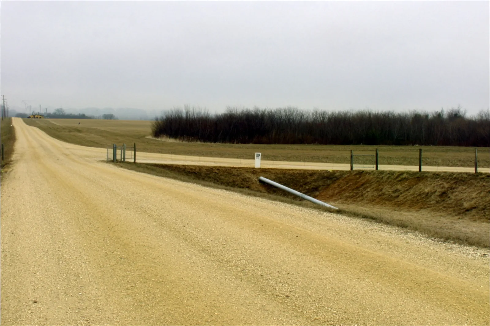
A gravel county road running between open fields under a grey sky, with a ditch and a wire fence along the far side, a metal gate at a field entrance and a length of culvert pipe lying in the ditch.
Frontage, surface, the ditch and the entrance. Four of the six answers on a tract record are visible in this one photograph.

What we check before you write an offer

On ground, six things decide whether a deal closes, and five of them are invisible from the road. We check them at listing rather than at inspection, because finding them in week six costs somebody the deal.

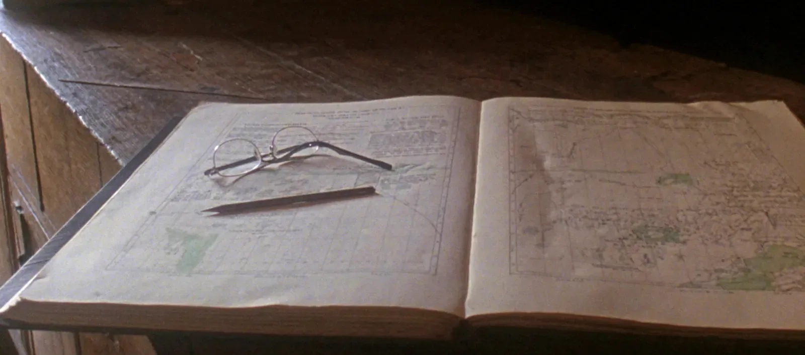
An open plat book on a worn wooden counter showing two pages of surveyed land divided into a fine grid, with reading glasses and a pencil resting on the left page and stacked older volumes behind.
The county plat book, open on the counter. The grid on that left page is the same grid at the top of this one.

Water

Whether there is a well, when it was drilled, how deep, and whether the rural water district will even set a meter on that road this year.

Waste

Tank and lateral, lagoon, or nothing at all. Ray County health permits are on file from the mid seventies forward and we pull the one that exists.

Flood

The FEMA panel for the tract, stated by zone and by acreage. Bottom ground near the Missouri and the Crooked River is not all one answer.

Access

Frontage in feet, surface, entrance count, and whether any part of the access is an easement across a neighbour rather than a public road.

The lease

Who is farming it, on what terms, and when it ends. A tenant with a crop in the ground has rights that outlast the closing date.

The line

Where the last survey put the corners, and whether anything built since then sits over them. Fences are not boundaries and they are frequently wrong.

The office is on the square.

Come in without an appointment. The plat books are on the counter and they are the county's, not a printout. If you are calling about ground, say the section number if you know it and we can pull the map while you are still on the telephone.

Six by Six Land & Realty123 Main Street
Richmond, MO 64085
Telephone(816) 555‑0142
land@example.com
OpenMonday to Friday, 8am to 5pm
Saturday by appointment
LicensedMissouri real estate broker
Licence 0000000
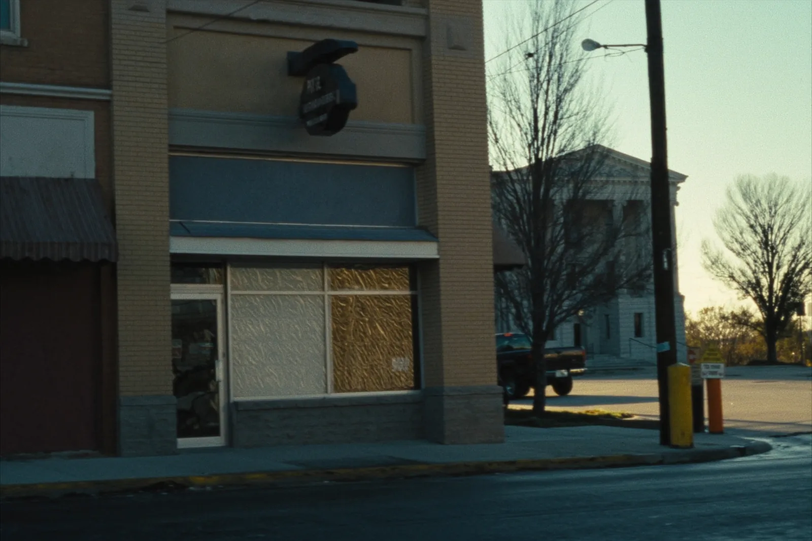
A small brick storefront office with a plate glass window on a courthouse square, a pickup truck parked at an angle at the curb, bare winter trees and a limestone courthouse across the street.
The square in February. The plat books are inside, on the counter by the window.